Quick hit
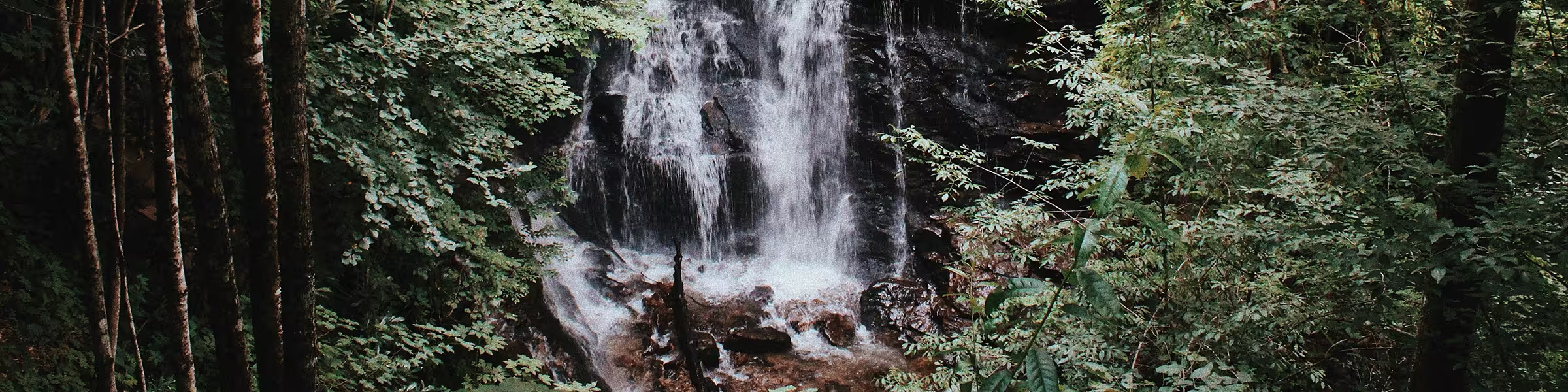
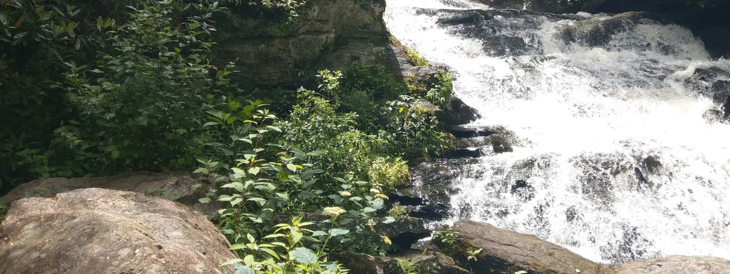
Soco Falls
Ten minutes from the chalet. Half-mile walk to a double waterfall. Back before lunch.
The Glenway Field Guide
HikingA trail guide for guests of The Glenway
Western North Carolina sits at the edge of the Great Smoky Mountains and along the Blue Ridge Parkway — two of the most hiked landscapes in the country. Here's where we'd send you.
Photo: Matthew Larkin / UnsplashFrom the Guestbook
“It was a nice, quiet spot to come back to after a busy day exploring. The hot tub was wonderful after some local hikes.”
The trails around Maggie Valley don't ask much of you to start. A short walk to a waterfall. A ridge with a view. But the deeper you go — into Cataloochee, up to the balds, out along the Appalachian Trail — the more this corner of the Appalachians earns its reputation. These are the hikes we come back to.
The short answer
Quick hit
Ten minutes from the chalet. Half-mile walk to a double waterfall. Back before lunch.
Best views
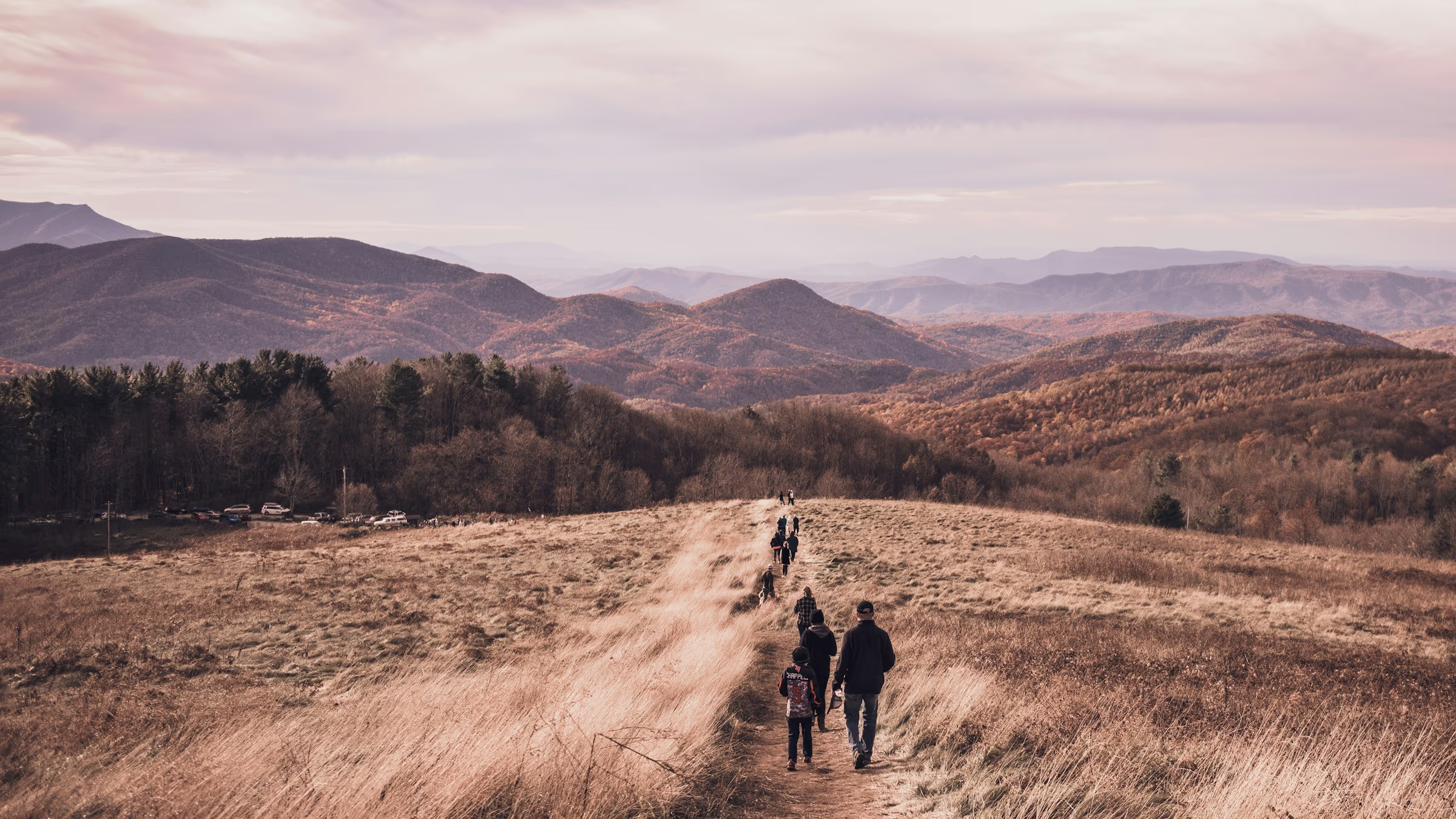
About an hour out. Bald summit on the Appalachian Trail with 360° views in every direction.
For wildlife
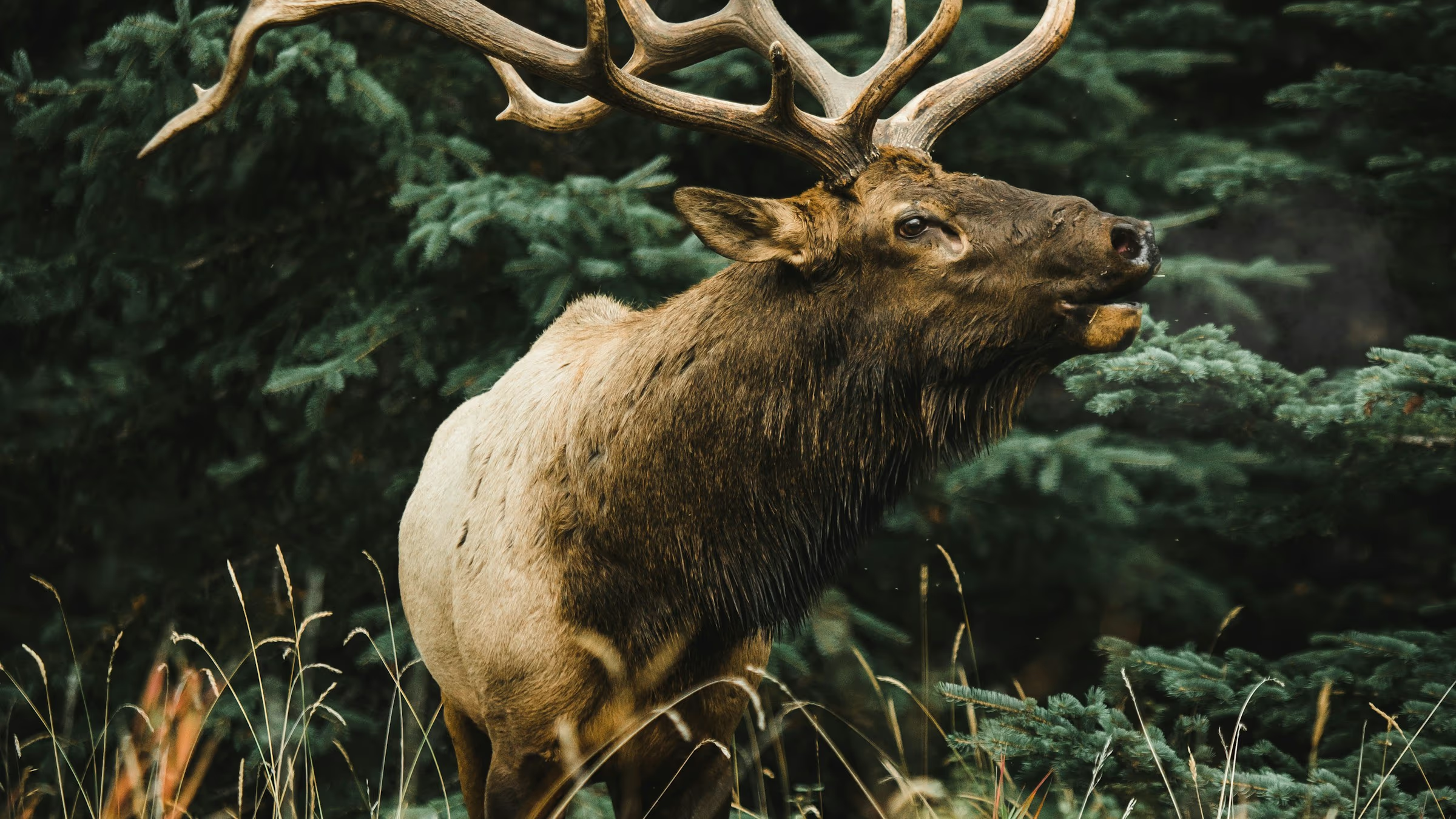
Drive into Cataloochee at dawn. Elk in the meadows, old homesteads, and almost no crowds.
Make a day
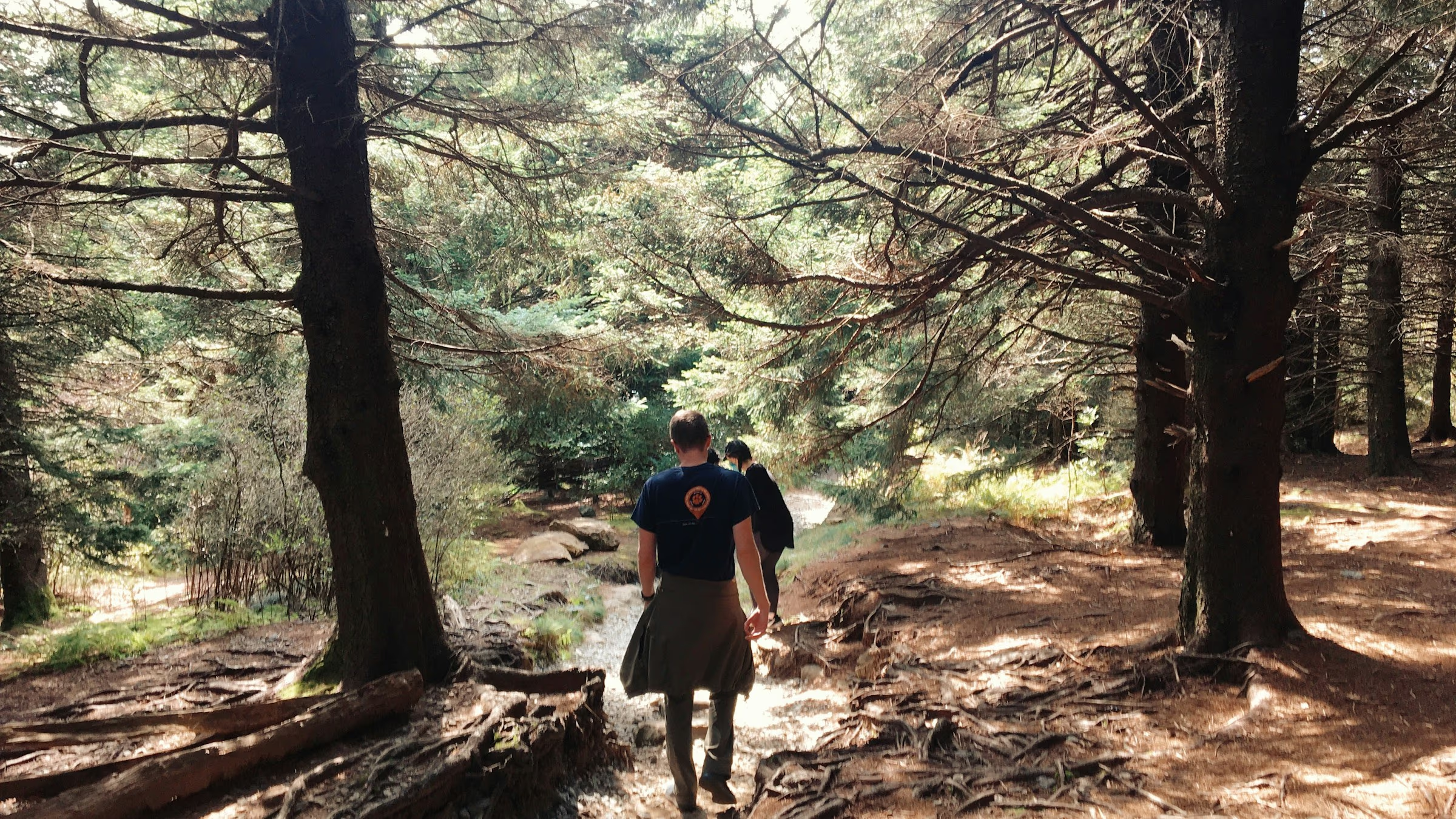
Above treeline for most of the route. Add Tennent Mountain and stay up there all morning.
Right Outside · < 30 Minutes
You don’t need to go far. Some of the most satisfying hikes in western NC are a short drive from the chalet — a waterfall before lunch, a summit at golden hour, back in time for dinner.
Double Waterfall · Cherokee Boundary
Year-round · Spectacular after rain
Short and steep, but the drop is brief and the payoff is immediate. The trail tunnels through rhododendron to a double cascade tucked into a narrow gorge — the kind of place that feels like it was put there specifically for you. At 0.4 miles round trip, don’t let ‘moderate’ on the sign throw you — it’s measured in minutes, not miles.
View on AllTrailsWe did Soco Falls with our kids on the first morning. Set the whole tone for the trip.
Blue Ridge Parkway · Summit Views
May–November · Road may close in winter
One of the highest easily accessible summits on the Blue Ridge Parkway near Maggie Valley. The trail climbs steadily through spruce-fir forest to an open rocky summit with 360° views reaching into four states on a clear day. Starts at Parkway milepost 451.2.
View on AllTrailsInto the Park · 30–60 Minutes
Cataloochee Valley is one of the quieter corners of the park — a wide mountain cove with old farmsteads, wild elk, and trails that see a fraction of the main entrances’ traffic. Budget half a day minimum.
Cataloochee · Elk Meadows · Old Homesteads
Year-round · Best spring and fall
Follows Rough Fork creek past the old Woody House homestead and into the heart of Cataloochee. Elk are frequently spotted in the upper meadows, especially at dawn and dusk. Centuries-old hemlocks line the creek in the lower sections. As good as moderate hiking in this park gets.
View on AllTrailsCataloochee · Old Growth · Stream Crossings
April–November
Named after Robert ‘Boogerman’ Palmer, a reclusive farmer who refused to sell his old-growth timber to the government, the loop passes through some of the finest old-growth forest remaining in the Smokies — massive tulip poplars, ancient hemlocks, and quiet ridge trails. At 7.4 miles with real elevation, plan this one for a day when you’ve got the legs for it.
View on AllTrailsBook Direct · No Service Fees
Book directly with us and keep what you'd otherwise pay in platform fees. Instant confirmation, direct contact with your hosts.
Check AvailabilityThe one everyone asks about
Appalachian Trail · Bald Summit · 360° Views
A grassy bald summit on the Appalachian Trail with an unobstructed 360° view of the Smokies, Pisgah, and the Black Mountains. Every clear day earns its reputation — and for once, the photos don’t lie. Short enough for any fitness level, and the kind of view that makes you understand why people walk 2,000 miles on this trail.
View on AllTrailsMax Patch was the highlight of our entire trip. We went at sunrise and had the summit to ourselves for twenty minutes.
Worth the Drive · 1 Hour+
An hour from the chalet puts you at some of the most spectacular hiking in the East. These are the ones worth building a full day around — pack a lunch, start early, don’t rush back.
Blue Ridge Parkway · Above Treeline · Open Balds
May–October · Road closes in winter
Above treeline for most of the route, Black Balsam offers something the Appalachians almost never give you: open sky in every direction, no trees to interrupt it. The trail crosses open grass balds with wide-open skies and long views to distant ridges. Trailhead at Parkway milepost 420.2 off the Art Loeb Trail.
View on AllTrailsBlue Ridge Parkway · Two Waterfalls · Easy Loop
Year-round · Busy in summer
Also in Swimming
An open plateau along the Yellowstone Prong with two waterfalls, a wide meadow, and one of the easiest entries into the Parkway’s backcountry. The upper falls are worth the extra half mile. Trailhead at Parkway milepost 418.8.
View on AllTrailsOld Fort · Two-Tiered Waterfall · River Gorge
Year-round · Upper falls flow best after rain
The trail follows the Catawba River through a wooded gorge to a striking two-tiered waterfall. The Forest Service rebuilt this one in 2024 — a 580-step staircase with overlooks now climbs from the lower falls to an observation deck at the upper cascade, replacing the dangerous off-trail route that used to claim lives here. The stairs are a workout, but the view at the top settles the debate. Trailhead is outside Old Fort, about 45 minutes from the chalet.
View on AllTrails
Also in the Field Guide
Taprooms in Waynesville and Sylva. Asheville's full beer city within an hour.
A little welcome from us
Drop your email and we’ll give you a discount code for 10% off your Glenway stay of 2 nights or longer. No spam, just a warm welcome from your hosts.
No spam. Unsubscribe anytime.